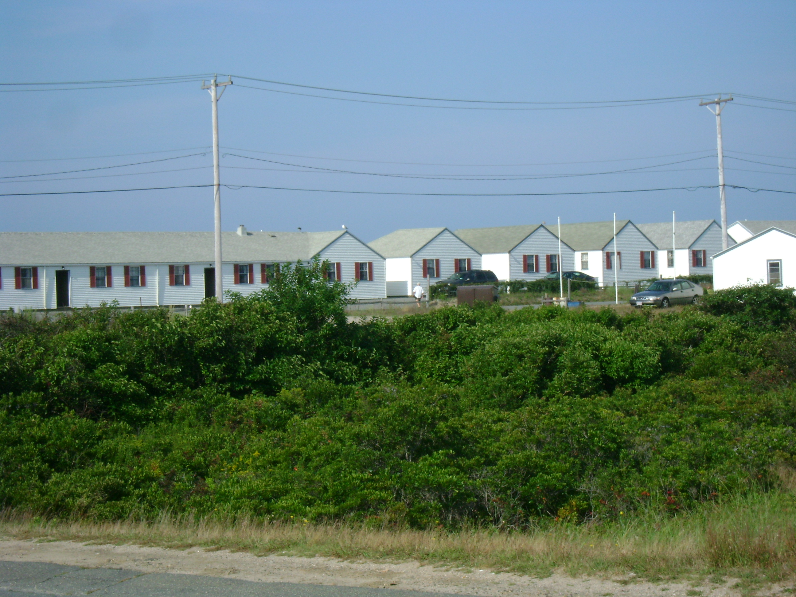
Every year, the peak of my training regimen for BRAKING AIDS Ride is completing at least one century ride, a training ride of 100 or more miles prior to the ride itself. Ideally, I get in one century sometime in July or August, and during my strongest years, I have been able to do at least two centuries before BRAKING AIDS begins. This year wasn’t one of those years, and I ended up doing one century ride during our annual vacation to Cape Cod. We stay in Wellfleet on the Outer Cape, so my route usually resembles something like a figure 8—roughly 50 miles going from our cottage to Provincetown and back, and then another 50 or so from our cottage to South Dennis and back.

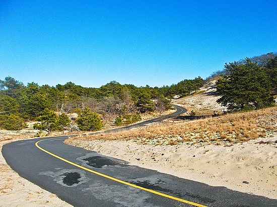
To get from South Wellfleet to Provincetown, rather than staying on Route 6, the main highway on the Cape, which is two lanes—one in each direction—for most of it and is also the most direct route, I took back roads for the first 22 miles of my century ride this past Wednesday. I rode Lecounts Hollow Road to Ocean View Drive, Gross Hill and Gull Pond Roads, then Old Truro Road, Pamet Point Road, Old County Road, Depot Road, Bridge Road, Castle Road, Corn Hill, and more, criss-crossing and riding Route 6 along the way for brief stretches. What did this mean? HILLS. Lots of them.
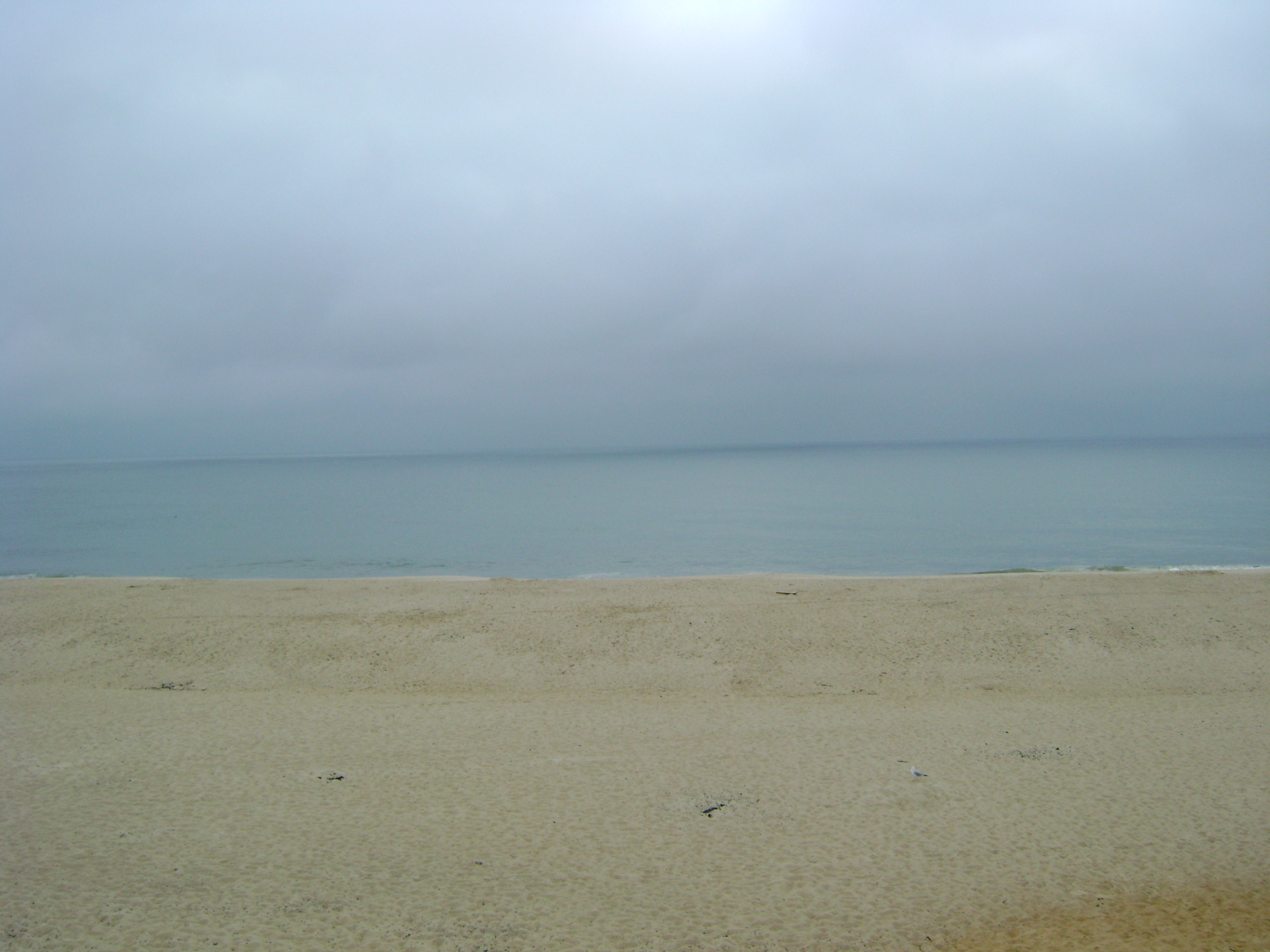
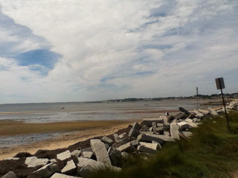
First beach pitstop after riding Ocean View Drive out of Wellfleet.

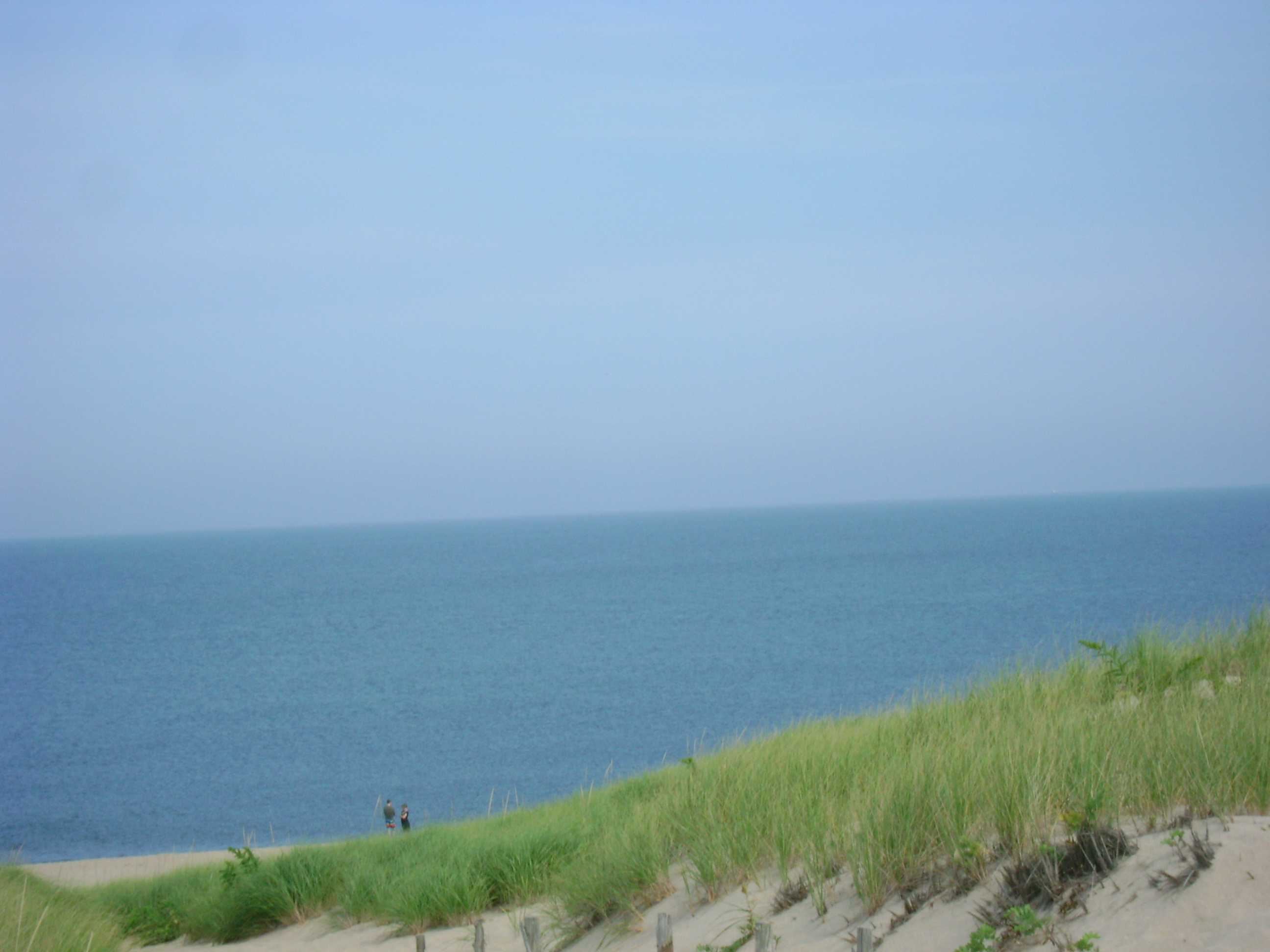
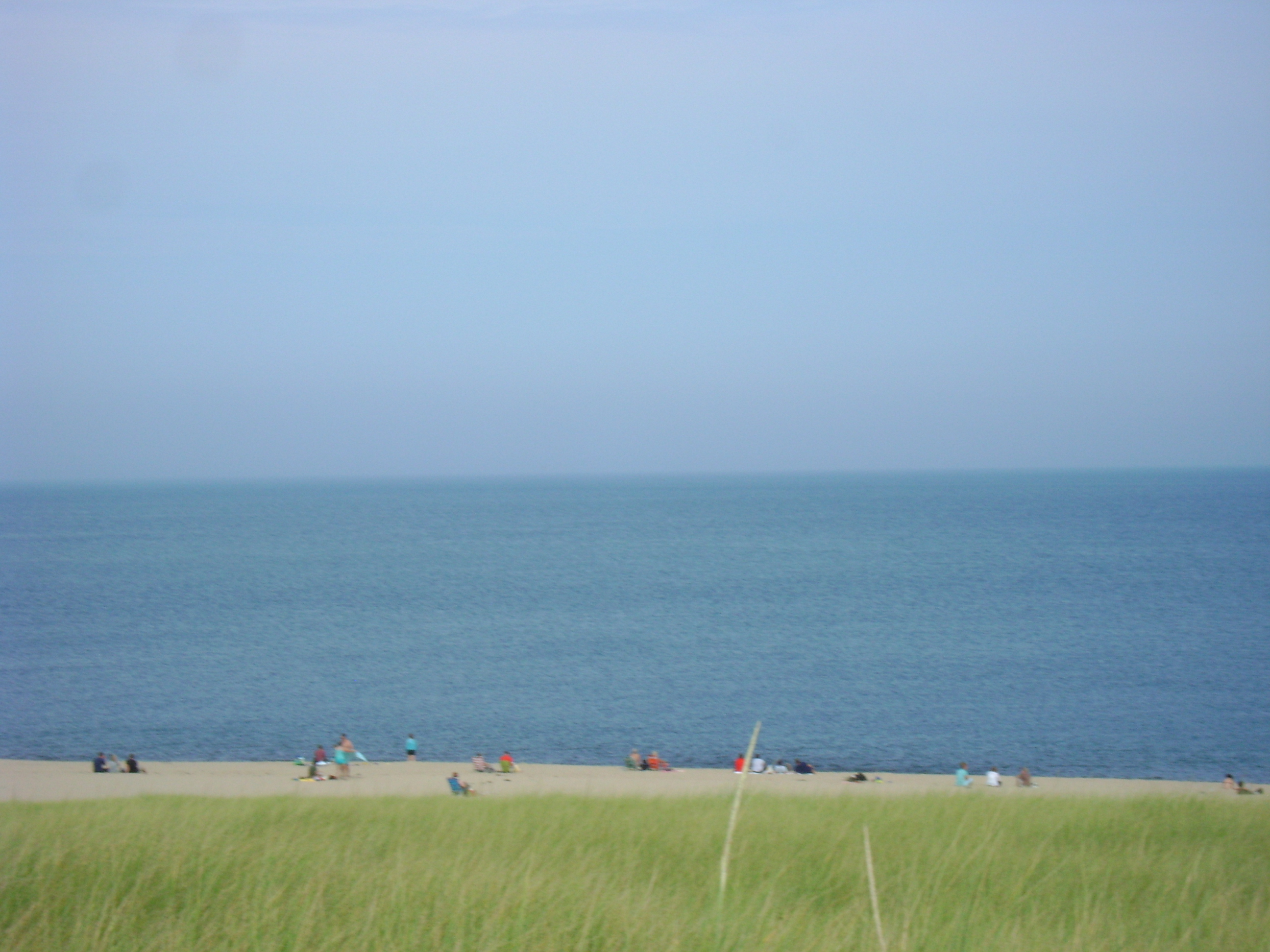
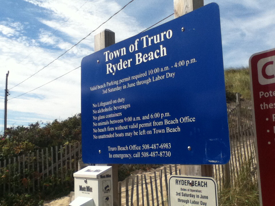
Ryder Beach, Truro.

Ryder Beach, Truro. The weather was windy in the morning, so much so I almost didn’t realize how hot it was until I stopped here.
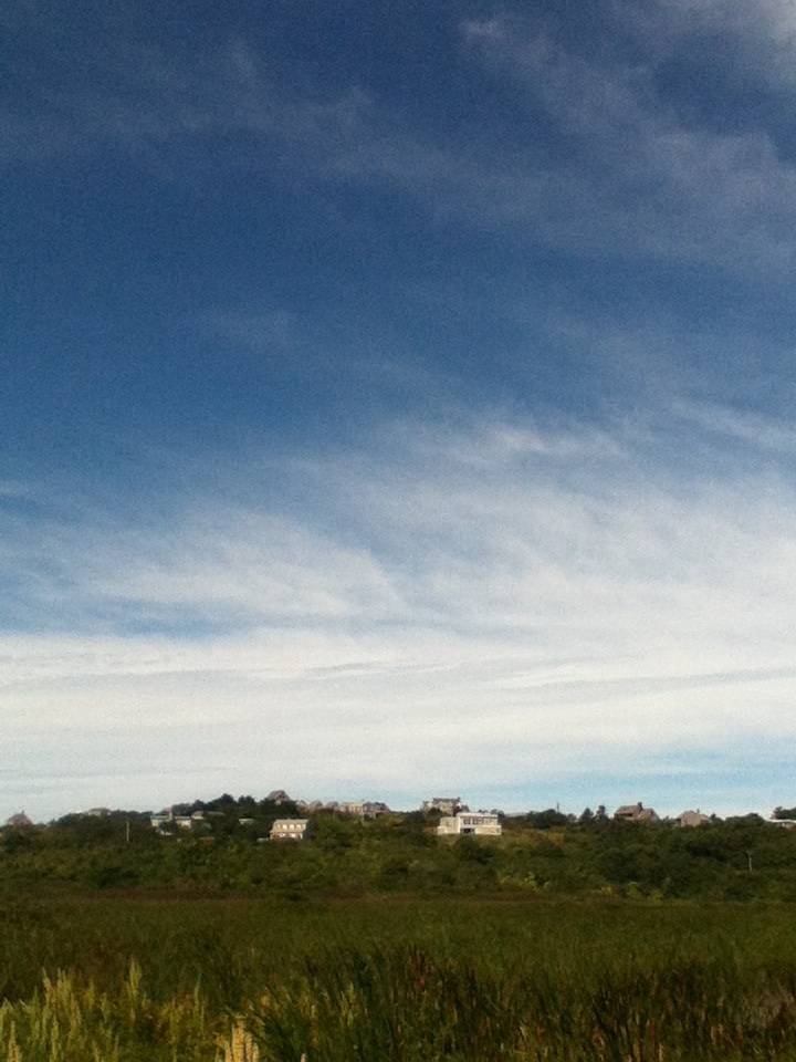
The view of Corn Hill from Castle Road, Truro. Amazing how misleading photographs can be. These houses are on big, tall bluffs overlooking the marshes and the bay to the west. Lots of climbing.
One of the houses near Corn Hill, Truro.
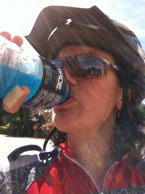
Powerade hydration self-portrait, #2. After over 20 miles of hilly back roads, I was hot and thirsty, so I stopped at the general store near the beginning of the Shore Road in North Truro. It used to be a hole in the wall called Dutra’s. Now it has been renovated and expanded, and they carry fancy Fever Tree tonic water. (This brand is light and not too sweet or cloying, perfect for cocktails, but four 6.8-ounce glass bottles are not worth $8.) I skipped the overpriced cocktail mixers and went for the sports drinks. I am not a big fan of Gatorade or Powerade, but hydration is key to endurance cycling. Electrolytes are your friend, and for whatever reason, perhaps because the blue versions of these products aren’t trying to simulate real fruit flavors like strawberry or grape or lemon, they tend to be the most palatable to me. Blue flavor, please, for me and The Blue Streak.

The window display at the expanded and renovated general store in North Truro. The place has new owners and is now called The Salty Market. To give you a sense of the scale here, the pig is nearly the height of the tall bench behind it, at which two gentlemen are seated. Both these guys kept giving me a weird look as I paused to snap this photo, as though I were interested in them and not the giant pig sculpture directly in front of them that was large enough for either one of them to straddle and ride like a horse.
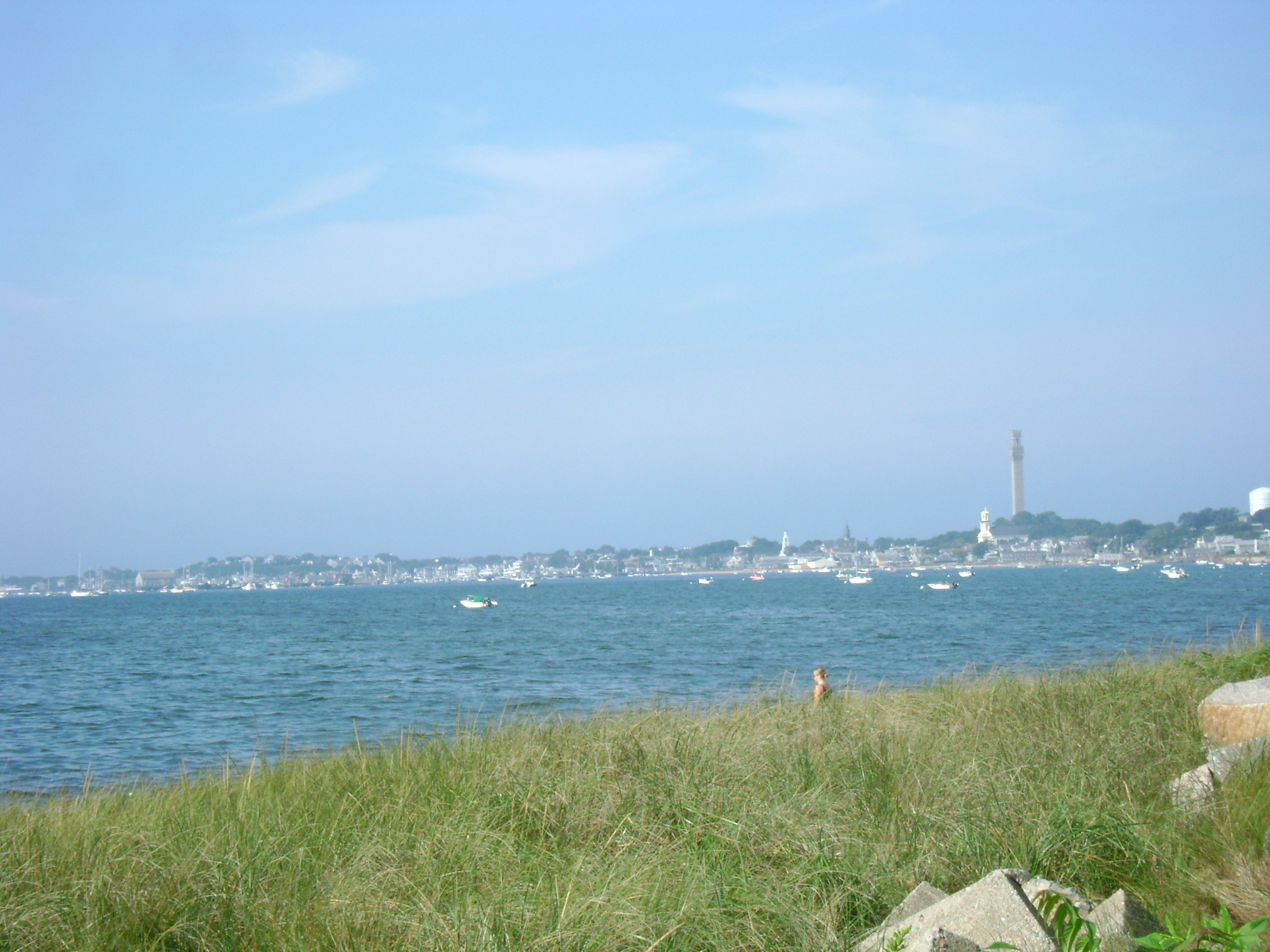
Provincetown, as viewed from Shore Road (Route 6A) in Truro, about 25 miles into my ride. The road is relatively flat, small rolling hills here and there, but headwind was something fierce in the morning, so it was slow going.

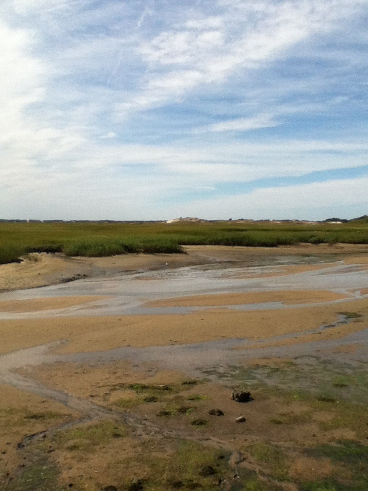
People walking on the sand bars during low tide on the bay, as seen from Shore Road, riding from Truro to Provincetown, late Wednesday morning.

Low tide on Shore Road between Truro and Provincetown, facing southwest.

After I arrived in Provincetown, I headed straight for Joe’s to get some iced coffee and then down the rest of Commercial Street to the West End, where I stopped at Relish, a deli that has incredible sandwiches as well as baked goods. When Jen and I got married in the West End in 2010, Frank, the guy who owns Relish, made our wedding cake. These are the store t-shirts.

To the disappointment of my friends Nicole Dewey, Kerri Fox, and Gregg Passin, cupcake lovers all, I did not get a cupcake at Relish, but this tray of them was so cute, I had to take a snapshot.
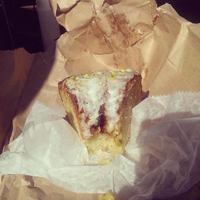
Objects may be larger than they appear. This slice of pistachio coffee cake from Relish is roughly the size of my head. Have I mentioned that under the curly hair, I have a big melon for a head? Although the slice of cake pictured here is the one Jen and I shared this afternoon (Friday), it is nearly identical to the one I purchased at Relish about 27 miles into my ride and housed all by myself on Wednesday. Photo by Jennifer L. Anderson.
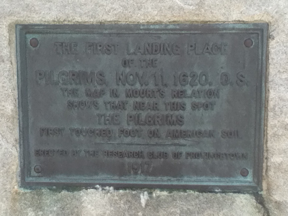
At the end of a Commercial Street in Provincetown’s West End is a traffic circle that feeds onto Provincelands Road, which in turn leads toward Herring Cove and Race Point Beaches. I had never noticed before this week that the rotary itself is a tiny park with this little plaque noting the first Pilgrims’ landing. Learn something new every day.
The outer rim of the West End rotary has benches that overlook the bay, the marsh, and the causeway. This is where I sat to eat my divine coffee cake from Relish and my iced coffee from Joe’s. Now that you see the view, you understand why those first Pilgrims decided to stay.
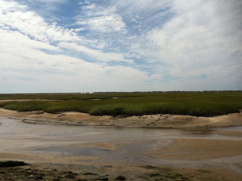
Another view of the West End marshes, Provincetown, at low tide. Love these colors.

People walking the Breakway, which spans about 1.5 miles, West End, Provincetown.
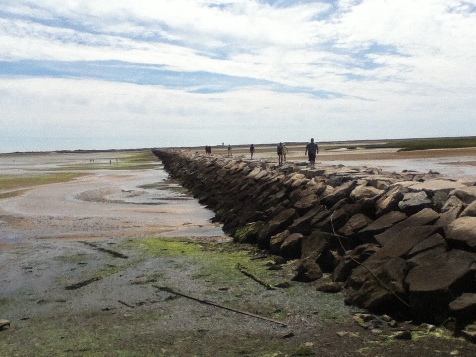
The Tidal Flats and Provincetown Breakway at low tide, West End, Provincetown.
After my cake snack, I was hot. I should have headed straight back to Wellfleet. I had gotten a late post-9am start (ah, the beauty of a cool summer! No need to begin at 6am to avoid the heat!) so it was already noon, and because of all the hills and headwind as well, I was only about one-third of the way through my century ride. But instead I stopped here, at Herring Cove Beach, parked The Blue Streak, stripped off my cycling shoes and socks, and marched myself down to the water to go soak my head, literally, and cool off.

The Blue Streak, waiting for me patiently at Herring Cove, while I went to take a dip.
Self-portrait at Herring Cove Beach, after taking a dip in the ocean (or rather, wading in to the knees and dunking my head in). The other beachcombers were perplexed by my strange bathing costume.
Non-photographic, afternoon interlude: After my detour to Herring Cove, I hauled ass back to our tiny cottage in South Wellfleet, via Route 6, Shore Road, and some of the same hilly back roads in Truro. I was pleased to make much better time than I had during the morning. Remarkable what a difference headwind makes.
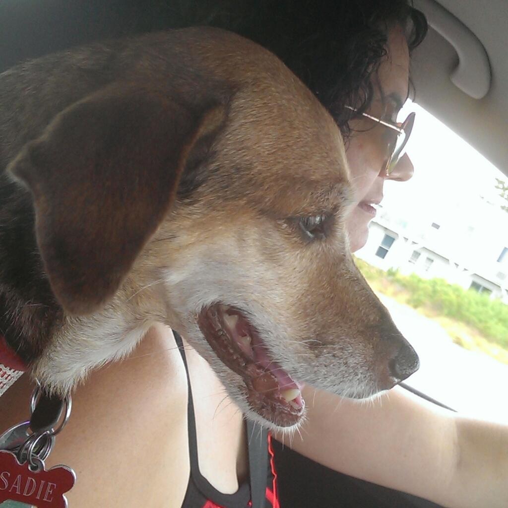
I stopped at the cottage and ate a self-made turkey sandwich that was serviceable but not worth photographing. While I was there, Jen returned from her own training ride of hill repeats along Ocean View Drive, so I got in a brief snuggle with her and our dog Sadie. Sadly, I had another 45 miles of riding to go, so the visit was short-lived.
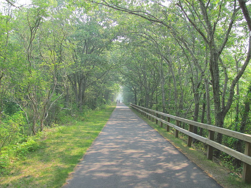
The good news is that most of my remaining route, the 22-mile Cape Cod Rail Trail between Wellfleet and Dennis, was flat. Along the way, I passed through Wellfleet, Eastham, Orleans, Brewster, Harwich, and Dennis, and then back again in reverse. The scenery in parts is lovely but the road itself—like the NYC West Side bike path, open only to cyclists and people on foot—is unremarkable, mostly flanked by trees and scrubs on both sides, so I only tend to take a handful of photos en route. Also, the one annoying thing about the Rail Trail is that it includes numerous stop signs where the trail intersects with roads trafficked by cars, so the route requires a ton of stop-and-go slowing down and ramping up again. In addition, after the first leg of my ride, I tend to get increasingly impatient with completing the century and stop less to take out the camera. For more on what this second portion of the route looks like, see my previous post from last year.
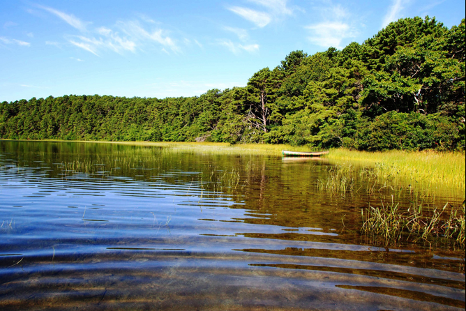
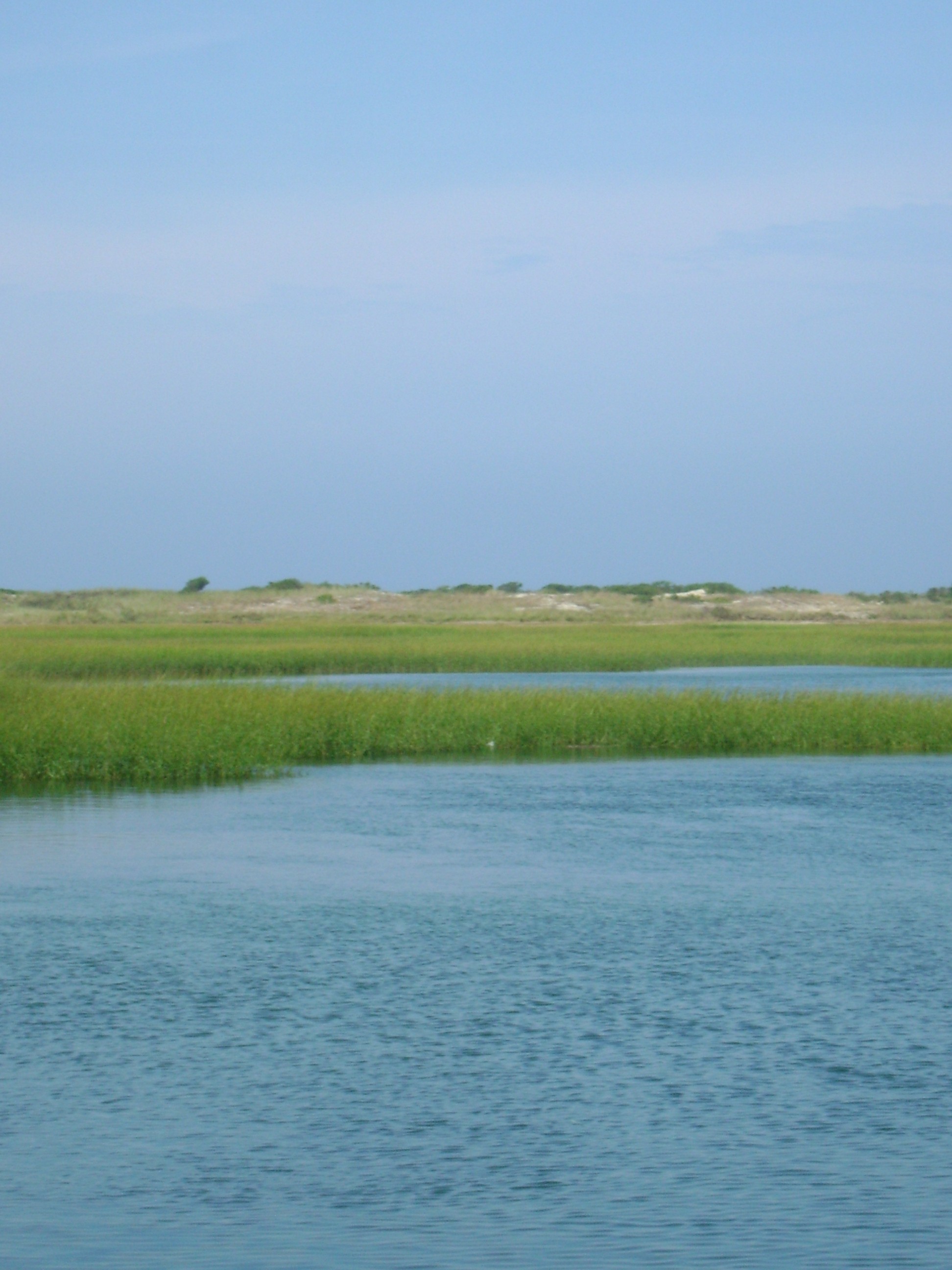
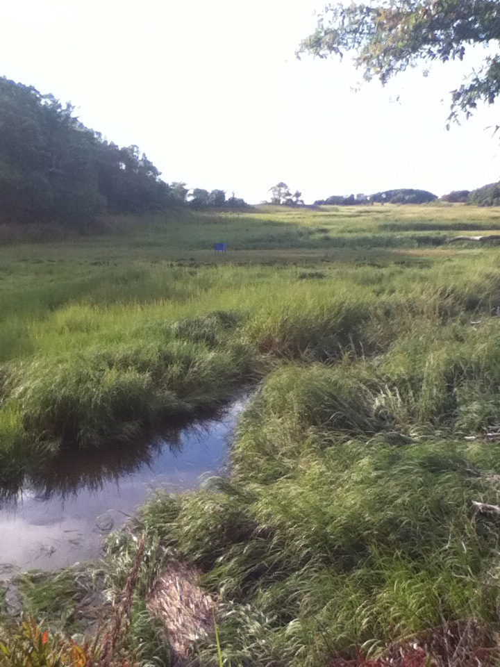
One of the marsh views, facing west on the Rail Trail between Wellfleet and Dennis.
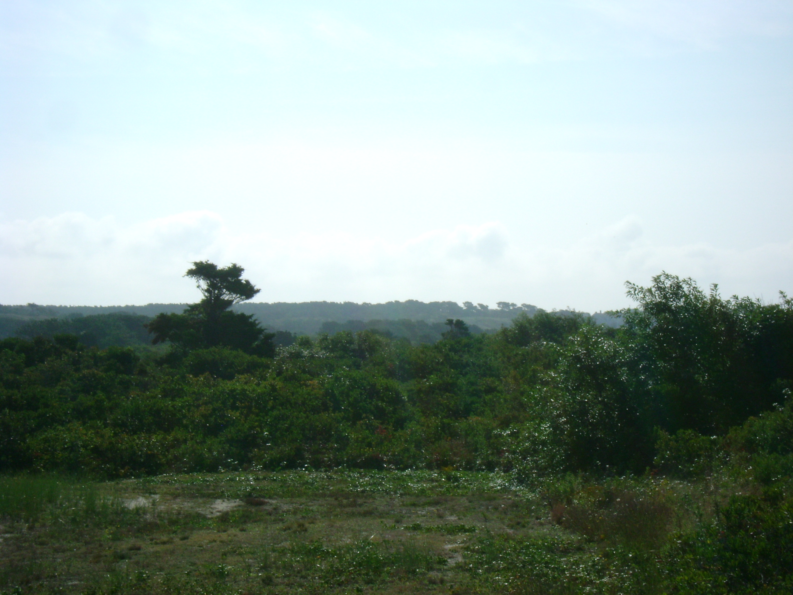
Unfortunately, it isn’t visible in this photo, but I discovered during the last 30 miles of my 102.5-mile ride this Wednesday that on a clear day, from a few places along the Rail Trail, one can see all the way to the bay. In this image, I could catch a small triangle of blue salt water right next to the tree silhouette near the top center.

At this point in a long day of riding, especially on a road like the Rail Trail, which is flat, uneventful, and safe enough terrain that one can afford to zone out for a while, strange, random stuff starts to drift through one’s head. Lines from Pride & Prejudice, the number of bones and muscles in the feet, whether the road ahead will ever end, and any number of X-rated fantasies to keep the mind going and entertained while the legs continue their monotonous pedaling. It is also the section of the journey during which I decided to get “arty” with the photo composition. Look at me, putting the reflection of the sun at the center without showing the actual light source.
This is where the photographic record of my century ride 2014 ends. I had wanted to take a picture of my odometer with my total distance for the day to post here, but somewhere during the last 30 miles, in my bleary-eyed state, I went to look at my speed and I hit the reset button by accident so the mileage count started over. You will have to take my word for it: 102.5 miles total.
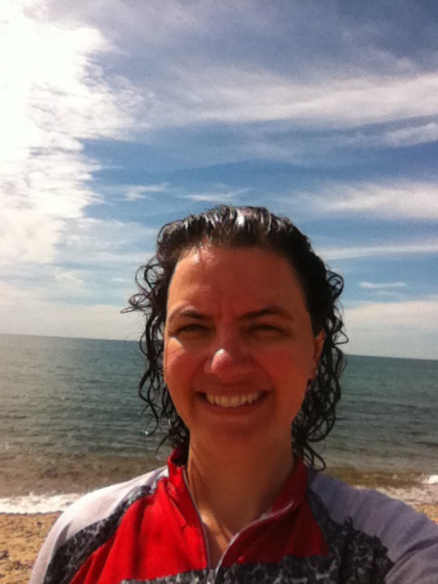
The thing about a century ride is that its full-day endlessness makes its completion all the more satisfying, and it’s also one of the best psychological confidence boosters I get prior to the actual BRAKING AIDS Ride. No matter how the day goes, a century is a good lesson that I repeat annually—less because of its physical training benefits and more because it reminds me that steady tenacity bears out. The closest thing I have to a picture of that figurative journey isn’t a photo from my century ride at all. It is a photo of me with my wife from the previous day, which she took during 45 miles of hot, hilly riding.
Seeing her beautiful face, all serious and sweaty from riding her bike, The Pale Horse, inspires me because she is a less experienced endurance cyclist than I, and she had a number of obstacles—physical and emotional—this summer that limited her training in a big way. Many people would have raised the required money for the ride, said to hell with the rest of the bike training, and not bothered doing the ride at all. Jen didn’t quit. When things were looking and feeling especially dark and dire in late July and early August, I assured her she doesn’t have anything to prove to anybody, except maybe herself, but she still refused to throw in the towel. Even at her most frightened and downtrodden, even when angry and disappointed at how the summer season went, she has kept showing up. Sometimes, she hasn’t been physically up to riding at all. Other days, she’s done shorter rides when she was unable to do longer ones and she’s ridden even when she has felt like crap, which has been often. She has also continued to insist on showing up and doing the actual BRAKING AIDS Ride, determined to have whatever ride experience she’s going to have. If that isn’t bravery and grit and perseverance, I don’t know what is. She has no idea what a fucking hero that makes her to me, so this is my way of trying to convey that. Jennifer Lynn Anderson, this post is for you:

This was actually taken the day before my century ride, doing a 45-miler with my wife Jennifer, who is also doing the ride next week. But she has been such a tenacious, brave beast during a challenging and difficult summer training season, and I am so proud of her, I wanted to post this here.
LESS THAN A WEEK FROM TODAY, I WILL BE RIDING NEARLY 300 MILES IN 3 DAYS, FROM BOSTON TO NYC, TO BE PART OF THE FIGHT TO END AIDS. CLICK HERE TO DONATE TO SUPPORT ME & HOUSING WORKS FOR BRAKING AIDS® RIDE 2014.